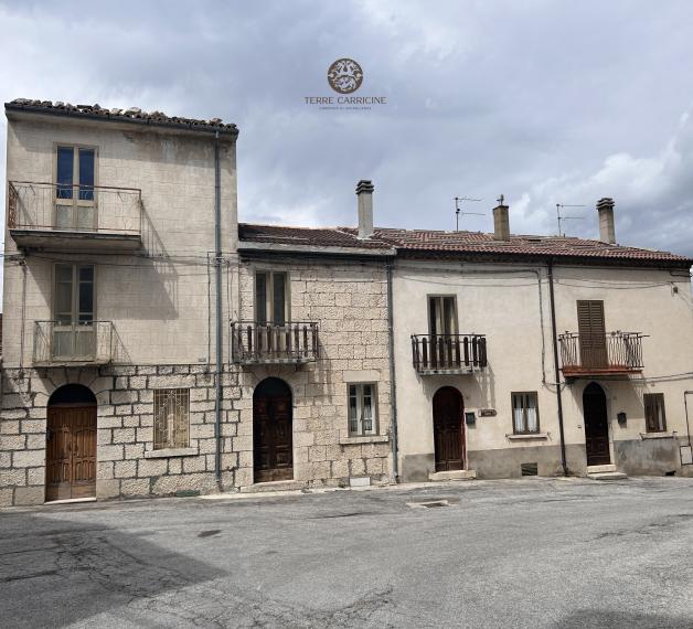
Montenerodomo
Discover Montenerodomo:
- Montenerodomo: the story of a landscape as an open-air museum
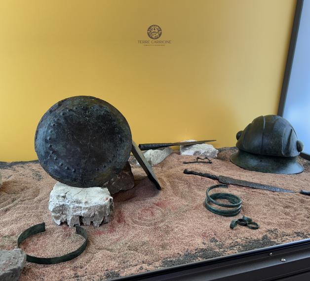
- Iuvanum Museum
- Museum of History and Transformation of the Landscape - Maiella National Park
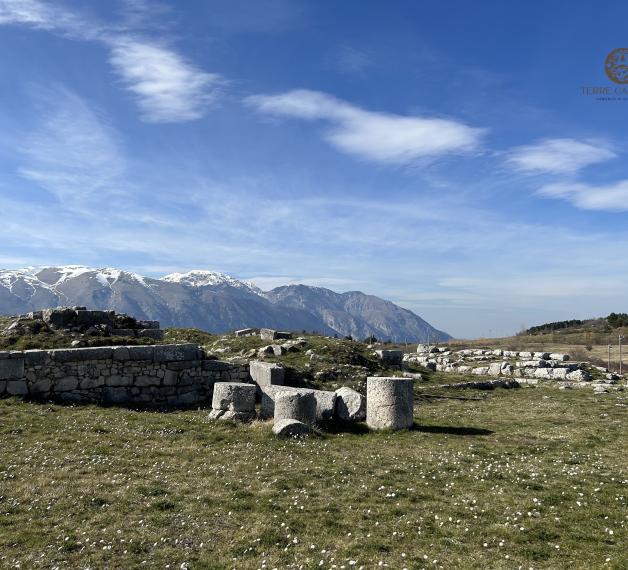
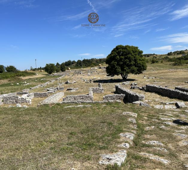
- The Archaeological Area of Iuvanum
- The path “I monti dei Carricini”
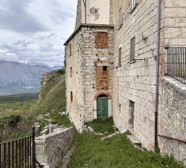
- Megalithic Walls
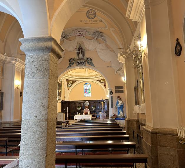
- The Evangelical Church
- Nancy Pelosi, Speaker of the US House of Representatives
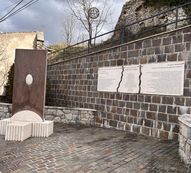
- Piazza Benedetto Croce and the War Memorial
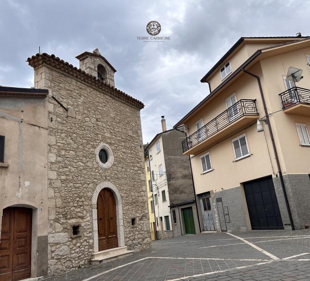
- The Church of San Martino and Santa Giusta
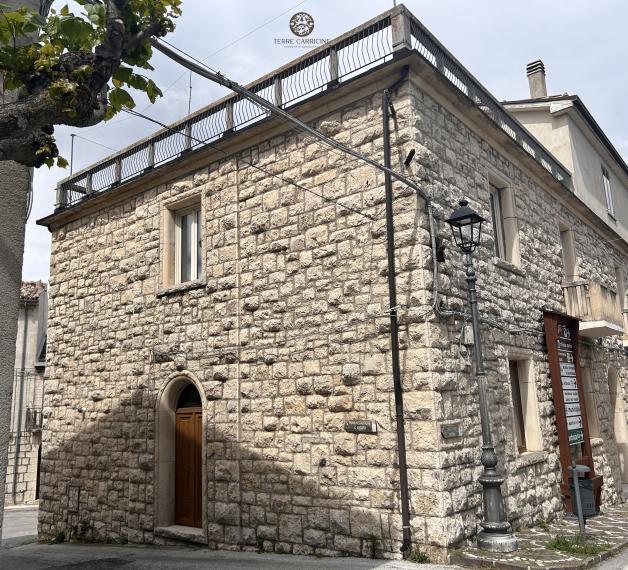
- Houses of the families Croce and De Thomasis
- San Vito Church the former burial ground of the Croce family
- The Gustav Line and the massacres
ENG - Audio Guide | The path “I monti dei Carricini”
ITA - Audioguida | Il Percorso “I Monti dei Carricini”